Table of Contents

Ans. (b) Visakhapatnam
Explanation:
Visakhapatnam is the deepest and land-locked port in India.
| A | B | ||
|---|---|---|---|
| (I) | Super highways | (i) | Join the state capitals with headquarters |
| (II) | National highways | (ii) | Built for fast movements |
| (III) | State highways | (iii) | Connect the state capitals and big cities |
Ans. (b) (I)-(ii), (II)-(iii), (III)- (i)
Explanation:
• Super Highways are built for fast movement and these are built and maintained by National Highway Authority of India.
• National Highways join the state capitals and big cities. These are built and maintained by the Central Public Works Department.
• State Highways join the state capitals with district headquarters. These are built and maintained by the State Public Works Department.
Explanation:
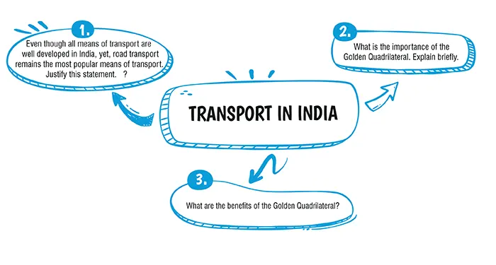
Undoubtedly, the road transportation is very common in India because:
1. Roadways feed other modes of transportation.
2. Roads provide door to door facilities.
3. Even the remote areas of deserts or mountains can be accessible through a road network.
Explanation:
The Golden Quadrilateral is a national highway network connecting most of the major industrial, agricultural and cultural centres of India. The main objective of these super highways is to reduce the distance and travel time between the four mega cities of India. The Golden Quadrilateral aimed to construct a six-lane superhighway between India’s four large metropolises- New Delhi, Mumbai, Chennai, and Kolkata. This project will help industrial development by easing the process of supply of raw materials. It will also help to connect many remote areas with the main cities. The benefits of the Golden Quadrilateral are:
1. It cuts down travel time by about 20-25%.
2. It helps industrial growth of the towns through which it passes.
3. It helps in transporting agricultural produce from the hinterland to the major cities and ports.
4. It helps in more job opportunities in construction as well as in demand for steel, cement and other construction materials
Explanation:
(i) It reduces travel time by about 20-25%.
(ii) It helps industrial growth of the towns through which it passes.
(iii) It helps transport agricultural produce from the hinterland to the major cities and ports.
(iv) It helps in more job opportunities in construction as well as in demand for steel, cement and other construction materials.
Download Mind Map of this chapter
Download NowWant to Practice Mock Tests of this chapter
Practice NowDownload Important Questions of this chapter
Download Now| Chapter No. | Chapter Name |
|---|---|
| Chapter 1 | Map Study: Interpretation of Topographical Maps |
| Chapter 2 | Map of India |
| Chapter 3 | Location, Extent and Physical features |
| Chapter 4 | Climate of India |
| Chapter 5 | Soil Resources |
| Chapter 6 | Natural Vegetation of India |
| Chapter 7 | Water Resources |
| Chapter 8 | Mineral and Energy Resources |
| Chapter 9 | Agriculture In India |
| Chapter 10 | Industries in India: Agro Based |
| Chapter 11 | Industries in India: Mineral Based |
| Chapter 12 | Transport in India |
| Chapter 13 | Waste Generation and Management |
CBSE Important Questions Class 10
ICSE Important Questions Class 10
CBSE Important Questions Class 10
ICSE Important Questions Class 10